

Kampong Glam & Geylang Serai
Malay Footprints, from Kampong Glam to Geylang Serai
- Distance
- 3.1 km
- Walking time
- 3h 30m
- Stops
- 34 stops
Two ends of Singapore's Malay-Muslim world, a short ride apart.
Walk it with Tanken, a free app that opens each stop's story as you arrive and reads it aloud while you look around. It is a self-guided walking tour, so there is nothing to book, and the first three stops are free.


What you walk through
Kampong Glam was the seat of sultans, where the community's royal history was written into palaces, mosques and merchants' houses. Geylang Serai is where that community gathers now, for Hari Raya and for the everyday.
Between the two lies a story of faith, trade and belonging, told through blacksmiths' lanes, Arab arches, and the blue swirl in a plate of kueh. Begin where the history was made, and end where it is still being lived, cooked and celebrated.
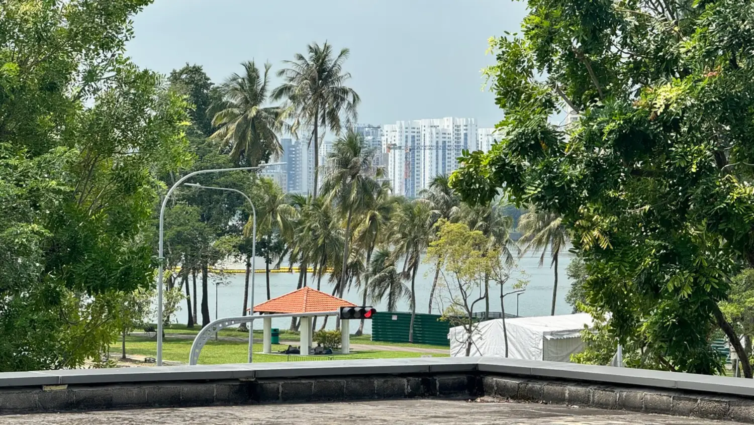
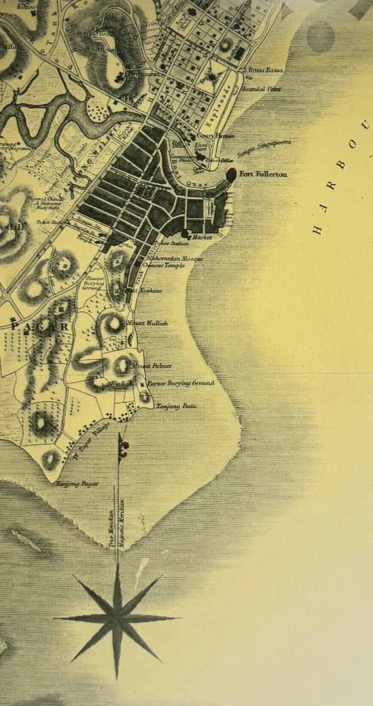
Here is one of its stops, exactly as it opens when you reach Nicoll Highway MRT Exit A, and one of the three you can walk free. Read it, or press play to hear it read aloud the way you would on the street, then look up and answer for yourself.


Where the Greening Began
Shifting Shore

Built Like Machines

Before the City

The Washing Place

Thanks for a Safe Passage

The Man on the Cart

Start your collection
Every stop you reach unlocks an illustrated card, narrated in a local voice and kept in your passport. Malay Footprints, from Kampong Glam to Geylang Serai holds 34 of the 168 waiting across all seven trails.
And they stay yours. A guided tour ends when the guide walks away; these are still there to page through, and to read again, long after the walk is done.
The trail region
Two neighbourhoods joined by a short bus ride: first Kampong Glam, along Beach Road and the lanes off Sultan Gate, Bussorah Street and Arab Street, then east to Joo Chiat Road and Geylang Serai, ending by Haig Road.
This heritage trail runs 3.1 km over 34 stops and takes about 3h 30m. It is self-guided, so there is nothing to book and no guide to meet: each stop opens on its own as you reach it and plays as audio, letting your eyes stay on the street. Pause partway and pick it up another day if you like. Longest trail; a short transit hop links the two areas.

Hard to get lost, even without a guide
A guidebook, a heritage-trail PDF or a blog write-up gives you the route and a map, then leaves the rest to you: which turning, which staircase, whether that was the right building. The one worry with a self-guided walking tour is getting lost, so Tanken draws the exact path as a golden thread along the way you would really walk, and points ahead when the next stop is out of sight.
Where it gets confusing, Malay Footprints carries 19 markers we placed on foot: this escalator, that crossing, the second staircase and not the first.
You never wonder whether you have arrived. The stop opens itself.
 Cross at the light
 Look both ways
 Use the crossing
 Take the lift
- Take the stairs
- Escalator down
Ready to walk Malay Footprints?
Download Tanken and walk the first three stops free. One one-time purchase opens every remaining stop on all seven trails. No subscription.
Six more self-guided walking tours in Singapore
Each takes a different part of the city and a different story, and one purchase opens all seven.